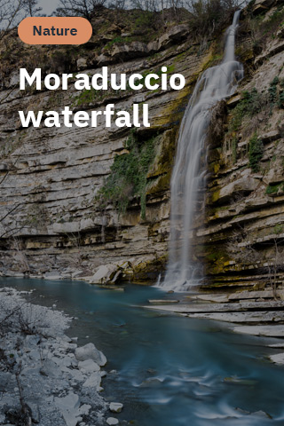
Along the River Santerno
The Cycle Routefollows the River Santerno and crosses it at several fording points. As the river descends from the Apennines, its fast-flowing rapids give way to a wider river bed and calmer waters as the terrain flattens.
From the plains, the route takes in the Bubano Nature Reserve (Oasi Naturalistica di Bubano)and the apricot orchards of Mordano before passing through Imola’s green beltand heading into the hills with their vineyards and olive groves.
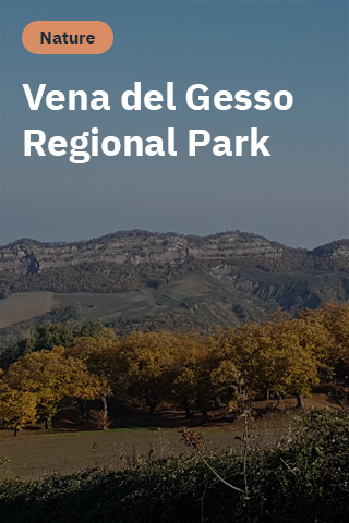
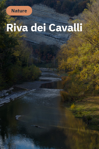
Further up the Santerno Valley in the area between Casalfiumanese and Borgo TossignanoHere, the craggy ridge of the Vena del Gesso Romagnola appears, its gypsum crystals sparkling in the sun. The geology of the Regional Park offers a window into past eons, when rock strata emerged from a prehistoric sea to form imposing cliffs like those at Riva dei Cavalli. inFontanelice
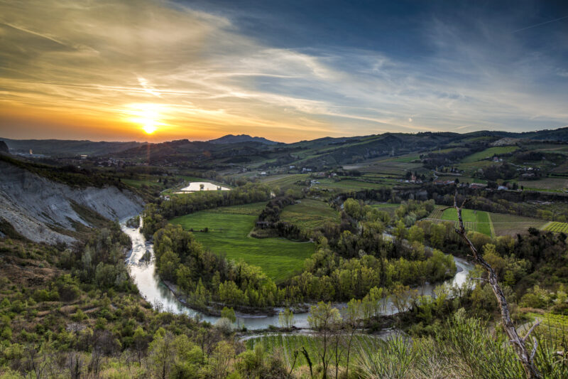
Ansa di Campola, Fontanelice. Photo by Marco Maccarelli
Castel del Rio has a typically Apennine landscape: dense woods cover the mountains that loom over the River Santerno and the climate is perfect for the many centuries-old chestnut groves. In this area it is easy to venture into centuries-old trees and chestnut groves. Indeed, cultivation of the organically-grown Marrone di Castel del Rio IGP chestnut has been practiced here for hundreds of years.
The Santerno River has a fascinating geology that was first studied and explored in depth by Giuseppe Scarabelli from Imola.
Check out the Geologist’s Travel Guide and go geo-exploring in the footsteps of Giuseppe Scarabelli.
Download the App and take part in the ‘Santerno Geo-Treasure Hunt’.

